01 · Positioning
Knows where it is. To the centimetre.
RTK-GPS, IMU and wheels fused in one factor graph. When RTK drops, a LiDAR map keeps it anchored.
u-blox · Unicore · NMEANo SLAMBad-fix rejection
Open-source autonomy for the mower you already own. Centimetre positioning, LiDAR vision, stripes as straight as a survey line.
The outer pass rides on the line you recorded, not 20 cm inside it.
Blade-on pivot turns where no arc fits, improvised turns around obstacles.
E-stop timings, charge ceiling, speed cap and tilt — clamped by the board.
Draw a line along a hedge so soft vegetation no longer stops the mow.
A native lawn-mower card, a Mow button per area, and sensors.
Real installer modes, GNSS in its own container, fleet mowing in beta.
Already running MowgliNext? v1.5.0 changes the mainboard firmware protocol. In Settings → Updates: Update the update service, then Review update → Install, then Flash firmware when the new interface asks for it.
The mower now mows on the recorded boundary by default — if your perimeter is not drivable all the way round, read the release notes first. Installed before v1.4.0? Rerun the installer once: curl -sSL https://mowgli.garden/install.sh | bash
RTK-GPS, IMU and wheels fused in one factor graph. When RTK drops, a LiDAR map keeps it anchored.
Headland rings on your recorded edge, then parallel swaths — one continuous path. Interrupted? It resumes at the exact spot.
LiDAR steers around obstacles in real time instead of stopping, then rejoins the stripe. The same sensor keeps the robot localized when RTK drops out.
Record as many areas as you like, with obstacles and drive-only corridors between them. The stripe angle turns 90° each session.
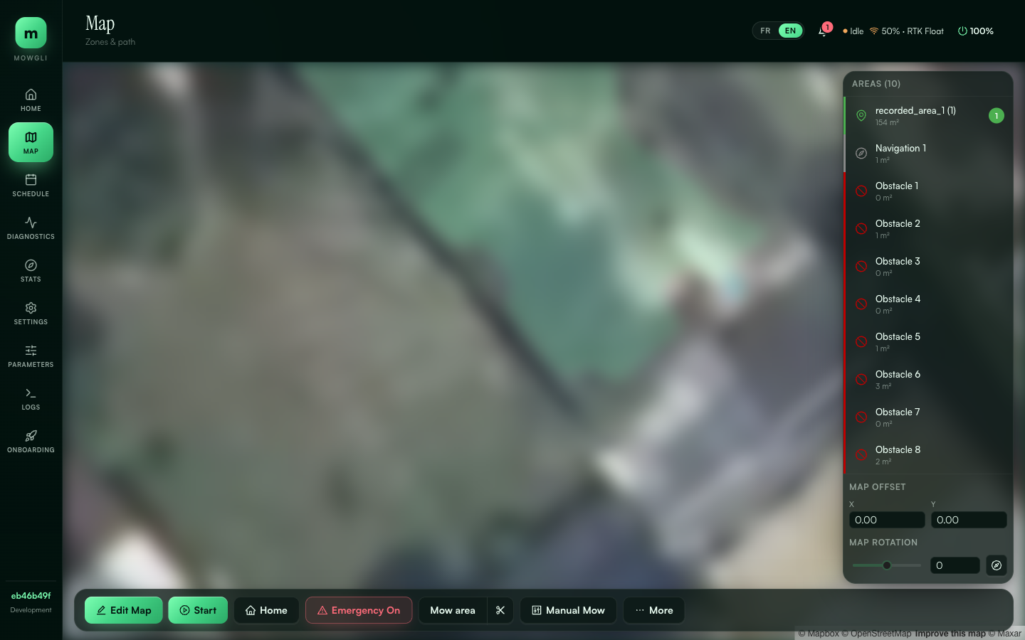
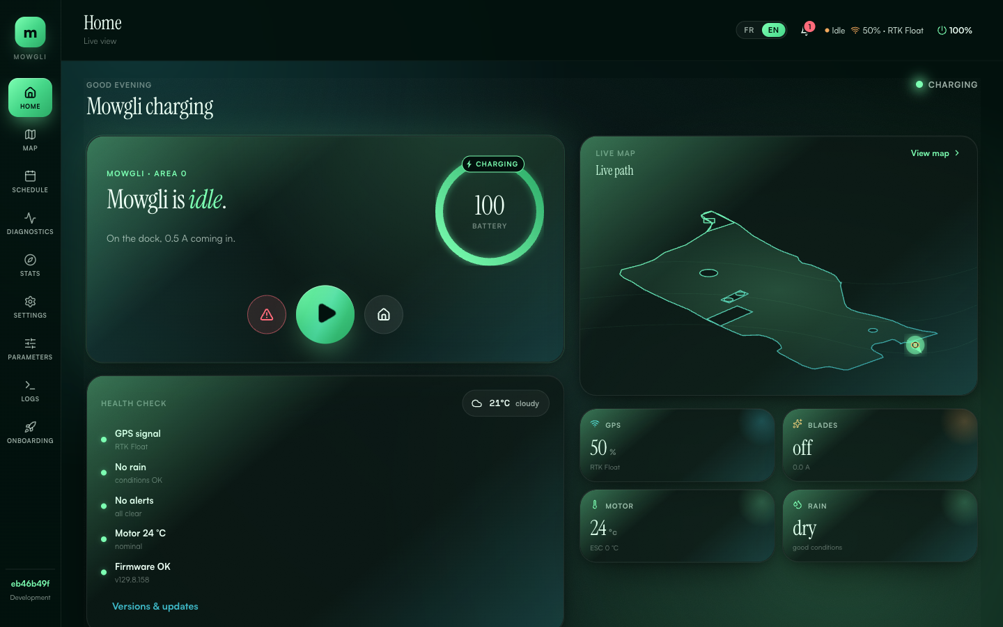
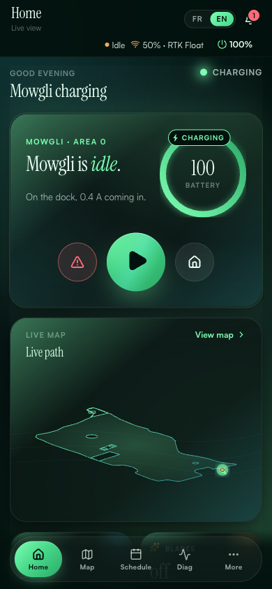
Map editor, schedule, stats and live tuning. Laptop or phone, English or French.
Pick your hardware, copy the command, paste it on the mower's board. Datum, NTRIP and the receiver profile are set later in the GUI onboarding wizard.
Mowgli is the supported backend. Pixhawk via MAVROS is coming soon.
Universal GNSS is the only supported direct GNSS stack. Pick the receiver family and serial link here; the receiver profile, datum and NTRIP are configured in the GUI onboarding wizard after the first start.
LiDAR does two jobs: it steers the robot around obstacles, and it keeps the robot localized against its own map when RTK drops out. Without it the robot runs GPS-only.
main is the stable channel. dev pulls :dev container images and checks out the dev branch.
MowgliNext exists because OpenMower proved robot mowers can know where they are. We take a different path — keeping your existing hardware — toward the same goal.
Thank you to cloudn1ne for the original Mowgli reverse engineering, nekraus, cedbossneo, Pepeuch, tetiti20, the OpenMower team, the Mowgli French community and everyone who tests, reports and contributes — see all contributors.